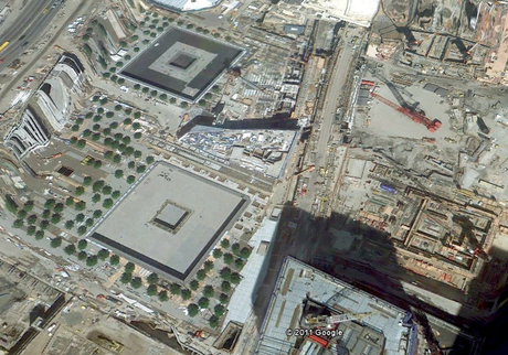
It happened a week ago.. I was sitting idle and bored. So I decided to waste my time on Google Earth, the first place that came to my mind was to see how the "lost" World Trade Center spot looked at Manhattan, it was interesting to see how Americans have used that place rather than trying to build it all over again, I admired that. Now that I was done with checking on the WTC, I curiously started pressing random buttons on the top of Google Earth interface, just then, I came across this option called TIMELINE, as I found out more about that, I was more than amazed to find out that you can actually see the satellite images of any place of any past dates available on the timeline, I watched the New York of 1930s to the ashes of WTC in 2011, in the meanwhile watching the 9/11 Terror-ed images as well... I should rather post the pictures for you guys, its amazingly awesome.
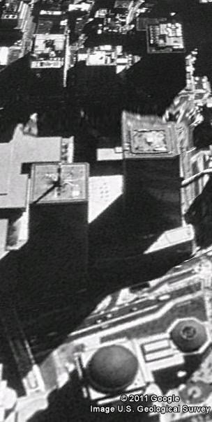
1. The picture of World Trade Center in 1994, it was only dollars and pound then.
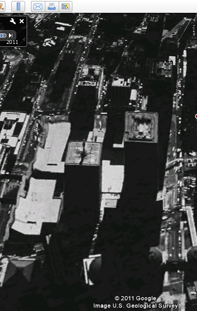 2. The WTC in 1997, still doing pretty good business round the globe.
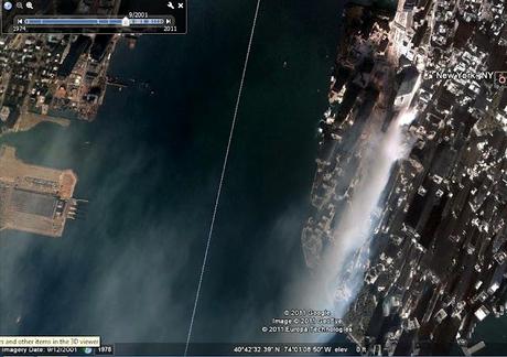
 3. Satellite images of September 2001 of The World Trade Center, it is no more on the screen, we can see the smoke that tells the whole story.
 4. as in 2005...the post 9/11 image of the spot without the trade center.
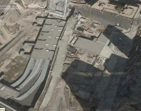 5. The World trade Center Spot as in 2011, made up as a some kind of memorial.
